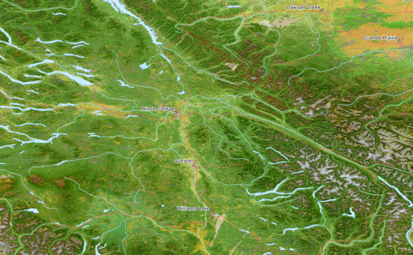
Following from my last post, if you’re looking for a site for “framework” Canadian geodata, check out GeoBase.ca, including layers such as: hydrographic, road network, various admin boundaries, imagery, and more.. all for free download.
But today I’m pulling it in using their WMS option to dynamically view the data without downloading:
http://geobase.ca/geobase/en/wms/index.html
I hope we’ll see more provinces get in on the action and start putting more higher res imagery up for WMS feeds, but for now I’m not complaining. Keep up the good work! If you enjoy it too, let them know by encouraging them with good feedback.
By the way, anyone know of an Ontario higher res imagery WMS or download site?
GeoBase WMS connection:
http://ows.geobase.ca/wms/geobase_en
