I’m helping some friends who are working on a project to visualise a whole whack of GIS data in Unity (Unity3D.com) game engine. It looks like we’ll end up working on a GIS -> Unity workflow for generating terrains from DEMs and texture maps from orthophotos. To top it off they’ve already got a landcover classification app running that takes landcover raster classes and creates 3D objects (grass, trees, water) in the model. (Don’t worry, I won’t tease you by mentioning their voxel based subsurface soil model interaction). It’s still early but really encouraging so far.
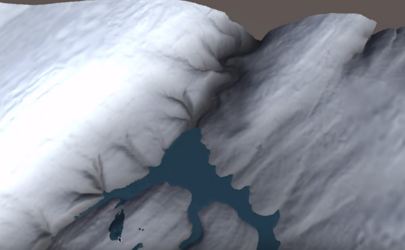
Next up is to simulate water flow in the environment and it was slim pickings for options for doing this. Then they found the Unity asset called Surface Waves (US$80) – it does the water flow work we wanted but much more. I just posted a really short test video to see how it worked – with both an auto generated water source and a manual placement water source, like a paint brush, that allows you to see how things will flow. It is amazingly performant on a notebook.
Be sure to check out Surface Waves’ demo video – it frees you from trying to emulate the look of water movement through shader trickery to actually simulating water flow over and around objects. Things that used to take a sophisticated GIS quite a while to compute actually, the last time I tried anyway 🙂
More to come as we play around with it, but I put it out there in case other spatially oriented folks might be interested as well in the GIS -> Unity workflow challenges being worked through. If so, I’ll do more video highlighting the work that’s underway.